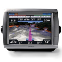
Garmin GPSMAP 5212 specs


General info
Marine navigation
Class:
Garmin
Software included:
Display
TFT
Type:
Other (1024 x 768 pixels)
Display resolution:
12.1 in
Size:
Yes
Touch screen:
Landscape
Orientation:
No
Auto backlight adjustment:
Software features
3D
Map viewing:
Yes
Favorite locations:
1500
Yes
Route saving:
20
Connectivity
Yes (SD)
Memory card support:
No
Wi-Fi:
Yes
External antenna support:
Body
13 in x 9.5 in x 4.7 in
Dimensions (WxHxD):
152 oz
Weight:
Yes
Rugged:
Water
Type:
Yes (Type: IP7)
IP certified:
Gray
Available color options:
US Availability
$3499.99
MSRP price :
Links
Official page:
-
in English:
-
If you are interested in using our specs commercially, check out our GPS specs database licensing page.
Description: This flagship marine navigator is missing just one thing — buttons. The GPSMAP 5212 features an unprecedented touchscreen interface, along with preloaded BlueChart g2 maps of the U.S. coast and a whopping 12.1" screen that makes navigation as easy as pointing your finger. By connecting to the Garmin Marine Network, you can add sonar, radar and weather. For even more advanced features, you can add the optional BlueChart g2 Vision... read more


Highly rated gadgets
-
10.0
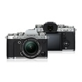 FujiFilm X-T3
-
8.5
 Xiaomi Mi A2
-
10.0
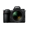 Nikon Z 7
-
9.1
 Apple iPhone XS Max
-
9.0
 Sony WH-1000XM3
-
8.0
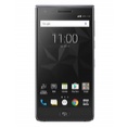 BlackBerry Motion
-
9.1
 Apple iPhone XS
-
9.0
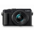 Panasonic LUMIX LX100 II
-
9.0
 FujiFilm XF10


