Garmin GPSMAP 4010 specs

General info
Marine navigation
Class:
Garmin
Software included:
Display
Other (800 x 600 pixels)
Display resolution:
10.4 in
Size:
No
Touch screen:
Landscape
Orientation:
No
Auto backlight adjustment:
GPS features
No
GSM data modem:
No
Traffic information services:
Software features
3D
Map viewing:
No
3D Objects view:
No
Points of interest:
Yes
Favorite locations:
1500
Yes
Route saving:
20
No
Voice navigation:
No
Voice commands recognition:
No
Media player:
Connectivity
No
USB:
No
Built-in memory:
Yes (SD)
Memory card support:
No
Bluetooth:
Yes
External antenna support:
Body
13.4 in x 8.9 in x 4.2 in
Dimensions (WxHxD):
7.8 oz
Weight:
Yes
Rugged:
Water
Type:
Yes (Type: IP7)
IP certified:
No
MIL-STD-810 certified:
Gray
Available color options:
Power
Rechargeable (proprietary)
Battery:
US Availability
Available
Market status:
European Availability
Available
Market status:
Links
Official page:
-
in English:
-
If you are interested in using our specs commercially, check out our GPS specs database licensing page.
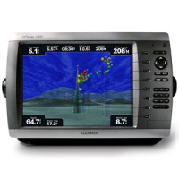
Description: This mid-sized 4000 series chartplotter fills the gap between the smaller GPSMAP 4008 and the wider GPSMAP 4012. Like its counterparts, the 4010 serves as your all-in-one nerve center for the Garmin Marine Network. This chartplotter has crisp, video-quality resolution on a 10.4-inch diagonal SVGA display as well as a worldwide, satellite-enhanced basemap. By connecting to the Garmin Marine Network, you can add sonar, radar and... read more


Highly rated gadgets
-
10.0
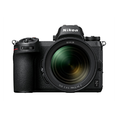 Nikon Z 7
-
9.0
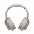 Sony WH-1000XM3
-
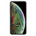
9.1
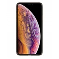 Apple iPhone XS
-
9.0
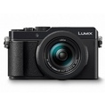 Panasonic LUMIX LX100 II
-
10.0
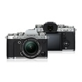 FujiFilm X-T3
-
8.5
 Xiaomi Mi A2
-
9.1
 Apple iPhone XS Max
-
8.0
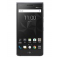 BlackBerry Motion
-
9.0
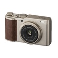 FujiFilm XF10


